My Z News

New Weather Forecast Model Can Pinpoint Severe Storms Up to 15 Hours in Advance
, , , , ,

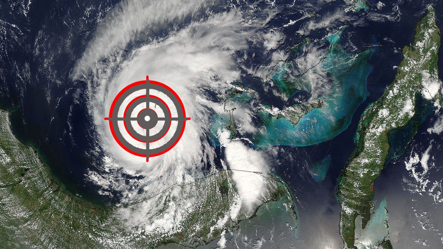
Image: Mashable composite. NASA Meteorologists at the National Weather Service (NWS) gained a new, sharper weapon in their arsenal of computer models on Tuesday, which could result in better weather forecasts. The agency put its newly updated High-Resolution Rapid Refresh (HRRR, which is pronounced like the word “her,” except with many more Rs), into operational use after several years of experimental simulations. The model will help meteorologists pinpoint the development of damaging weather conditions that are too small-scale and short-term to be detected by other models, such as derecho events like the one that shut off the lights to hundreds of thousands of people from Ohio to Virginia on June 29, 2012. According to the NWS, the newly supercharged HRRR model, which had been in use before Tuesday but at a far coarser resolution, will allow forecasters to make better warnings of flash flooding, heavy snowfall, and the likelihood of severe thunderstorms. It could also make aviation forecasts more reliable, helping pilots steer clear of turbulence. The key to the HRRR’s upgrade is a major narrowing of its spatial resolution, which is akin from going from taking a wide shot photograph to using a zoom lens. The spatial resolution of the improved model is four times finer than what was used before, allowing it to capture smaller-scale details, such as individual thunderstorms, that it might otherwise have missed. According to a press release, the improvements made each pixel in the model go from the size of an entire city, at eight miles wide, to the size of a neighborhood within that city, at two miles wide. The new HRRR model was five years in the making from a team at the National Oceanic and Atmospheric Administration’s (NOAA) Earth System Research Laboratory in Boulder, Colorado. The model is now run on supercomputers in Virginia and Florida on an hourly basis, and it takes advantage of real-time radar data to produce more accurate projections of how weather systems will move and develop. Its forecasts extend out to 15 hours in advance, compared to other weather models that project up to 10 to 14 days. “This is the first in a new generation of weather prediction models designed to better represent the atmosphere and mechanics that drive high-impact weather events,” said William Lapenta, Ph.D., director of the National Centers for Environmental Prediction, part of the National Weather Service, in a press release. “The HRRR is a tool delivering forecasters a more accurate depiction of hazardous weather to help improve our public warnings and save lives.” How the model works The new model takes about 1,200 computer cores to run, and keeps them busy for each hour, NOAA research meteorologist Stan Benjamin told Mashable. He said the new model takes up about 12 to 15% of the operational computing capacity that NOAA has at the environmental prediction center, which is located in College Park, Maryland. According to NOAA, the computer model starts out with a three-dimensional picture of the atmosphere one hour before the […]
Read More...

Floods Kill Hundreds, Leave Thousands Trapped in Divided Kashmir

, , , , ,

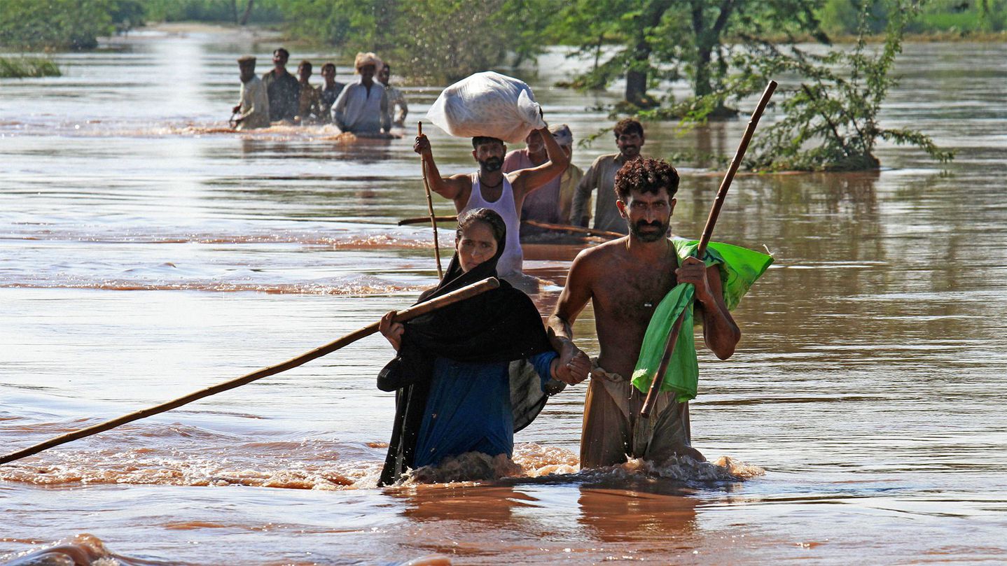
Pakistani villagers wade through water to find safe shelters in Pindi Bhatian, 105 kilometers (65 miles) northeast of Lahore, Pakistan, Monday, Sept. 8, 2014.Image: K.M. Chaudary/Associated Press Extreme rainfall associated with the seasonal South Asian Monsoon caused rivers to overflow their banks over the weekend in northwest India and parts of Pakistan, killing more than 320 people and displacing tens of thousands from the Himalayan region of Kashmir and eastern Pakistan. The floods have not been as deadly as 2010 floods in a similar area. But the rainfall amounts were comparable, according to scientists. The 2010 floods, which killed about 2,000 and displaced nearly 20 million, were focused on the Indus River. The current flooding is in that river’s tributaries, including the Chenab and Jhelum Rivers. They have become so swollen that their expansion is visible from satellites orbiting the Earth. Islamabad, the capital of Pakistan, received a staggering 12 inches of rain in 24 hours on Friday — up to four times higher than the city typically sees during the entire month of September, according to meteorologist Brendan Miller of CNN. Before/after from #PakistanFloods where Chenab & Jhelum Rivers have swelled to over 10km wide. Will flow into Indus pic.twitter.com/ZSGVhHaRaA — Brandon Miller (@BrandonCNN) September 8, 2014 The conflict-ridden region of Kashmir was hardest hit, as several days of downpours wiped out homes and transportation links. Qadirabad, Pakistan records 2nd highest river discharge y’day- over 900k cusecs. Records back to 1947 #PakistanFloods pic.twitter.com/5urPrYhhNt — Brandon Miller (@BrandonCNN) September 8, 2014 The flooding in the Indian-controlled portion of Kashmir is said to be the worst in at least 60 years, with communication lines cut along with electricity and strategic bridge crossings. In both Pakistan and India, soldiers were aiding civilian rescue operations Monday. Meanwhile in Pakistan, the Chenab and Indus rivers were still rising, which was expected to lead to more flooding. Post by ADGPI – Indian Army. The Kashmir region in the northern Himalayas is divided between India and Pakistan and claimed by both. Two of the three wars the countries have fought since their independence from Britain in 1947 have been over control of Kashmir. 7-day rainfall amounts estimated by NASA’s TRMM satellite, with the area of flooding circled. On Sunday, Indian Prime Minister Narendra Modi sent a letter to his Pakistani counterpart, Nawaz Sharif, offering India’s help in relief efforts to the Pakistan-controlled portion of Kashmir. Sharif issued a statement of his own, saying Pakistan is “ready to help in whatever way possible” in Indian-controlled Kashmir. Modi called the flooding a “national disaster;” he promised the state an additional 10 billion rupees (nearly $170 million) for aid and compensation for those affected. In India’s portion of Kashmir, more than 5,200 people have been rescued, said O.P. Singh, director of India’s National Disaster Response Force. Blankets, medicine and food were being supplied to people stranded on rooftops, he said, as most parts of Srinagar, the region’s main city, were submerged. A map shows the Kashmir Valley. Image: Wikimedia/Opus88888 […]

Read More...