New Weather Forecast Model Can Pinpoint Severe Storms Up to 15 Hours in Advance

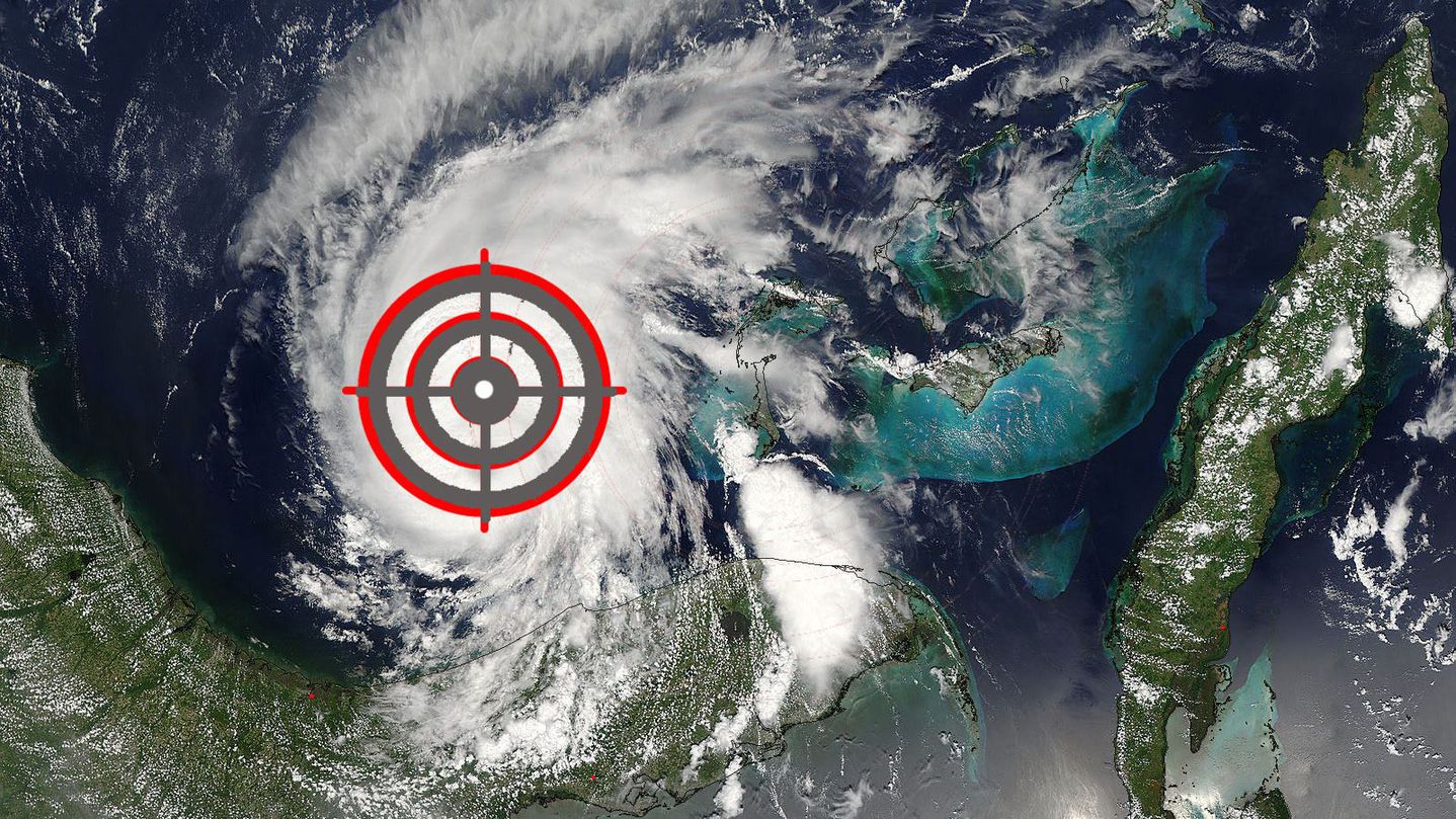
Image: Mashable composite. NASA Meteorologists at the National Weather Service (NWS) gained a new, sharper weapon in their arsenal of computer models on Tuesday, which could result in better weather forecasts. The agency put its newly updated High-Resolution Rapid Refresh (HRRR, which is pronounced like the word “her,” except with many more Rs), into operational use after several years of experimental simulations. The model will help meteorologists pinpoint the development of damaging weather conditions that are too small-scale and short-term to be detected by other models, such as derecho events like the one that shut off the lights to hundreds of thousands of people from Ohio to Virginia on June 29, 2012. According to the NWS, the newly supercharged HRRR model, which had been in use before Tuesday but at a far coarser resolution, will allow forecasters to make better warnings of flash flooding, heavy snowfall, and the likelihood of severe thunderstorms. It could also make aviation forecasts more reliable, helping pilots steer clear of turbulence. The key to the HRRR’s upgrade is a major narrowing of its spatial resolution, which is akin from going from taking a wide shot photograph to using a zoom lens. The spatial resolution of the improved model is four times finer than what was used before, allowing it to capture smaller-scale details, such as individual thunderstorms, that it might otherwise have missed. According to a press release, the improvements made each pixel in the model go from the size of an entire city, at eight miles wide, to the size of a neighborhood within that city, at two miles wide. The new HRRR model was five years in the making from a team at the National Oceanic and Atmospheric Administration’s (NOAA) Earth System Research Laboratory in Boulder, Colorado. The model is now run on supercomputers in Virginia and Florida on an hourly basis, and it takes advantage of real-time radar data to produce more accurate projections of how weather systems will move and develop. Its forecasts extend out to 15 hours in advance, compared to other weather models that project up to 10 to 14 days. “This is the first in a new generation of weather prediction models designed to better represent the atmosphere and mechanics that drive high-impact weather events,” said William Lapenta, Ph.D., director of the National Centers for Environmental Prediction, part of the National Weather Service, in a press release. “The HRRR is a tool delivering forecasters a more accurate depiction of hazardous weather to help improve our public warnings and save lives.” How the model works The new model takes about 1,200 computer cores to run, and keeps them busy for each hour, NOAA research meteorologist Stan Benjamin told Mashable. He said the new model takes up about 12 to 15% of the operational computing capacity that NOAA has at the environmental prediction center, which is located in College Park, Maryland. According to NOAA, the computer model starts out with a three-dimensional picture of the atmosphere one hour before the […]